
Blaine Neighbors by Block
For an address in Blaine, Anoka County records can define the surrounding Blaine parcels and show the public property information attached to each one. That is a Blaine block-research method, not an official roster of the people living nearby. The county GIS distinguishes a Blaine physical situs from an owner mailing address, and neither field establishes a social relationship. Use the Blaine parcel shape, PIN, legal description, and record date to keep each nearby result tied to the right piece of land.
| Record route | Block evidence available | Access channel |
|---|---|---|
| Anoka County GIS Property Search | Adjacent parcel geometry, PIN, situs, owner and mailing fields, legal description, tax/value fields, and districts | Public map and REST layer |
| Anoka County Property Information | Blaine assessment, tax, sales, and related parcel data | Property Access Site; Room 119 for gaps |
| Blaine ArcGIS boundaries | Blaine city border, ZIP, census, council, school, district, and emergency-service context | Public ArcGIS service |
| MNVotes confirmation | Confirmation for one supplied name, birth date, and Blaine address combination | Free self-check, not a block list |
| Public voter-list route | Permitted fields for Blaine registered voters under a signed lawful-purpose request | Secretary of State request, fee, and use limits |
| Blaine association or civic source | Self-published contact or public meeting context | Organization's own page or public records request |
A Blaine owner record can show who is associated with a parcel for tax and title purposes. It does not prove that every person connected with that address lives there. A dated historical directory can add a listed subscriber clue, but it has the same limitation. For a street-length record chain rather than a nearby-parcel question, use the Blaine street directory.
Blaine Parcel Records Map
The Anoka County GIS Property Search is the primary map surface for a defined Blaine block. Start an address search with a house number and street name or partial street name. The county's Search Tips for Blaine say to omit the city and punctuation, then select the matching zoomed result. A multi-unit address has its own search mode. Parcel ID, plat, half-section, school, public-building, and intersection searches offer alternatives when a normal Blaine street search fails.
Once the Blaine target parcel is open, click the adjoining polygon boundaries rather than guessing from a mailing list. Capture the PIN, situs, owner and owner-mailing distinction, subdivision, lot, block, plat, legal description, tax year, public values, and districts. The county's field schema also identifies recorded-document fields. Preserve the legal description because it is more durable than a Blaine street string when comparing maps or deeds from different periods.
Blaine Boundary Records
A Blaine block can be viewed through more than one geographic layer. The Blaine ArcGIS Boundaries service includes City Border, Anoka County ZIP Codes, Census Blocks for 2000, 2010, and 2020, City Council Wards 2022, school and legislative districts, and emergency-service layers. These overlays are useful for checking whether nearby parcels share a city, ZIP, district, or census boundary.
They do not turn a Blaine map into a people directory. A ZIP is postal geography, a ward is an electoral geography, and a census block is a statistical geography. The county GIS Near Me tool can begin with a map click and adjustable radius, then provide nearby-feature or PDF output. Its measure and draw tools can define a block or corridor. Keep the selection geometry and date with any research output, especially when a boundary crosses the visible street.
Note: A shared Blaine ZIP or district establishes common geography, not a shared association, household, or current residence.
Blaine Voter Records
MNVotes is a Blaine address-confirmation route for a supplied person, not a means of finding everyone nearby. It requires first name, last name, full date of birth, and either ZIP Code or county and Blaine address fields. Its Blaine result path provides confirmation or mismatch guidance. The system updates nightly, and a new registration can take up to 14 days to appear after processing.
Minn. Stat. § 201.091 treats the Blaine public voter list differently. A lawful-purpose request can include name, address, birth year, supplied phone number, voting history, and district information. Full date of birth and government ID numbers remain restricted. The Secretary of State lists $30 for any area and $46 statewide. Anoka Elections also handles Blaine voter questions at 2100 3rd Ave, Suite 160, Anoka, 763-324-1300. The list cannot be published online as a searchable Blaine address directory, sold, loaned, or transferred outside the permitted rules. A walking list can be street-sorted, but that does not authorize a public Blaine block dump.
Note: MNVotes confirms one supplied registration, while the public-list process requires a signed purpose statement and keeps several sensitive fields outside the release.
Blaine Neighbor Data Count
County-wide totals cannot be converted into a count of people on a Blaine block. The Secretary of State registration-count page showed Anoka County with 253,632 registered and 6,264 preregistered voters on August 3, 2026. Those values change daily, cover the county rather than Blaine, and do not establish a count for any Blaine ZIP, parcel set, or street. The research found no Blaine-by-ZIP registration count.
This Blaine gap matters because a parcel buffer is geographic selection, not a demographic measure. If a date-specific Blaine total is needed for a civic question, cite the official count's date and jurisdiction. Do not estimate a Blaine local group from a county total, an address export, or an event-registration notice.
Blaine Association Records
The City of Blaine's HOA resource page says the city does not maintain an official HOA list because there are many associations. That statement is a useful result in itself. It means a Blaine subdivision name, plat, or community website should be handled as an association-held lead, not as a city-certified membership directory. Start with the plat or subdivision shown on the parcel record, then use the association's own public contact route or request public city meeting and permit records when relevant.
| Organization or layer | Public evidence | How to use it |
|---|---|---|
| City of Blaine HOA resource | City states that no official master list is maintained | Use it to confirm the city boundary, then seek a plat or self-published association lead |
| Club West Master | Self-published community site | Use public contact or event information only; do not infer membership from an address |
| Blaine Historical Society | Named through city boards, commissions, and calendar materials | Use public meeting identity or request public meeting records, not a private member list |
| City advisory bodies | Blaine Boards and Commissions identifies public bodies | Look for public minutes and development context, not residence proof |
No verified all-Blaine association umbrella or published association inventory was found. Congregation, block-watch, and civic-club rosters were also not located as public Blaine sources. That absence should remain an absence rather than being filled with a guessed directory.
Note: The city no-master-list statement and a self-published association contact page are different kinds of evidence and should remain labeled that way.
Blaine Civic Records
Blaine public events can help identify a community contact channel, but they are not proof of residence or association membership. Blaine's calendar includes city and community bodies, while the Blaine Boards and Commissions page identifies groups such as the Blaine Historical Society, Natural Resources Conservation Board, Park Advisory Board, Planning Commission, Charter Commission, Fire Advisory Board, and Senior Citizen Advisory Board. Blaine public minutes and agendas can show what entity handled a neighborhood matter.
Blaine posted a June 1, 2026 Night to Unite notice for August 4 block parties, with a July 20 registration deadline. Treat that Blaine notice as a time-stamped civic event, not a participant directory. A narrow Blaine city public-data request under the Minnesota Government Data Practices Act can ask for a defined public meeting, permit, or date range. The form lets staff classify responsive data and cite any withholding statute.
Map Blaine Neighbor Parcels
Blaine adjacent-parcel research works best when each move has a documented purpose. The Blaine address leads to the target parcel, the target parcel leads to a Blaine boundary selection, and the individual parcel fields explain the land record. A Blaine buffer can set a radius or corridor, but the result should remain a defined geographic research set. It should not be relabeled as a complete roster of nearby households.
- Open the Blaine target in the Anoka County GIS viewer with the address, PIN, or permitted alternative search format.
- Confirm the Blaine situs and parcel geometry, then note the PIN, legal description, and tax-year context.
- Click each adjoining parcel boundary and record only the available public parcel fields.
- Add city border, ZIP, census, district, or school layers when the geographic question requires them.
- Use Near Me, line, polygon, or buffer tools only after documenting the block or corridor being studied and its date.
For Blaine title history, preserve the legal description and use the Anoka County recorded-document route, where grantor and grantee names must be matched to the Blaine parcel. For Blaine permits, iMS covers work after October 5, 2020, while DocuWare covers earlier permits and all Certificates of Occupancy, Landscape Surveys, and Surveys. An applicant or contractor remains a separate relationship from a Blaine owner or current occupant.
Note: A parcel boundary and public field set define the research target, but they do not identify every person associated with it.
Blaine Neighbor Privacy
Blaine official sources and commercial neighbor-lookup categories answer different questions. Blaine county and city records identify the custodian, the record type, and often the date or parcel field behind a result. Commercial tools may combine public material from many places, but their source date, matching method, coverage, and correction process can be hard to confirm. A commercial result should never replace a Blaine check with the office that keeps the underlying record.
| Official local or state record | Commercial lookup category | Practical difference |
|---|---|---|
| Blaine GIS parcel or property record | Compiled address or person result | The official Blaine record identifies its parcel fields and custodian; a compilation may mix dates or identities. |
| Blaine MNVotes confirmation or lawful voter release | Claimed nearby-person list | Minnesota limits the Blaine official route; a claimed list does not remove those statutory limits. |
| Blaine association's public contact page | Unverified community affiliation | Blaine association-held contact information does not establish that every nearby address belongs to a member. |
Note: Parcel ownership, a subscriber listing, and a public meeting appearance are separate facts that should not be merged into a single claim about a person.
Blaine Safe at Home Records
Minnesota Safe at Home protects the real residence of eligible participants through a designated mailing address. The program is for qualifying Minnesota residents who fear for their own, a child's, or a household member's safety because of domestic violence, sexual assault, stalking, or similar circumstances. Its address protections can affect voter, licensing, and other government records. The real residence is not an ordinary public address and may be released only through the limited legal routes described by the program.
The Safe at Home program overview is shown in this Blaine neighbors privacy image.
The program explains why a blank, altered, or designated address should be respected rather than treated as an invitation to locate a protected residence.
Blaine Public Safety Records
The Minnesota BCA Predatory Offender Registry information does not create a general neighbor name-and-address directory. Minnesota states that registry information is generally nonpublic, subject to limited exceptions for certain noncompliant registrants and information disclosed under public-notification or risk-level law. The responsible law-enforcement agency decides what may be released through those statutory routes.
The BCA registry guidance appears in this Blaine neighbors records image.
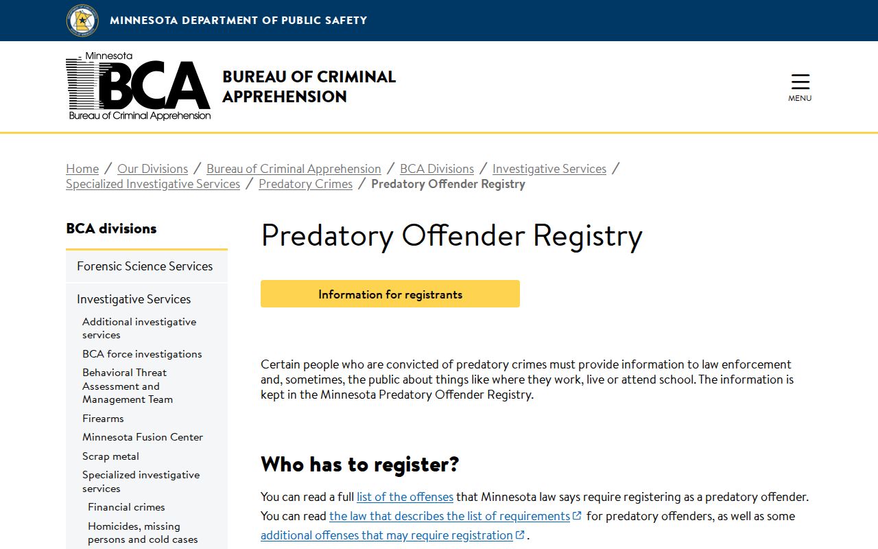
The image reinforces the official distinction between a narrow public-notification exception and a broad block-level people search.
Note: Use the responsible law-enforcement agency's current disclosure route, because registry status and the scope of public information can change.